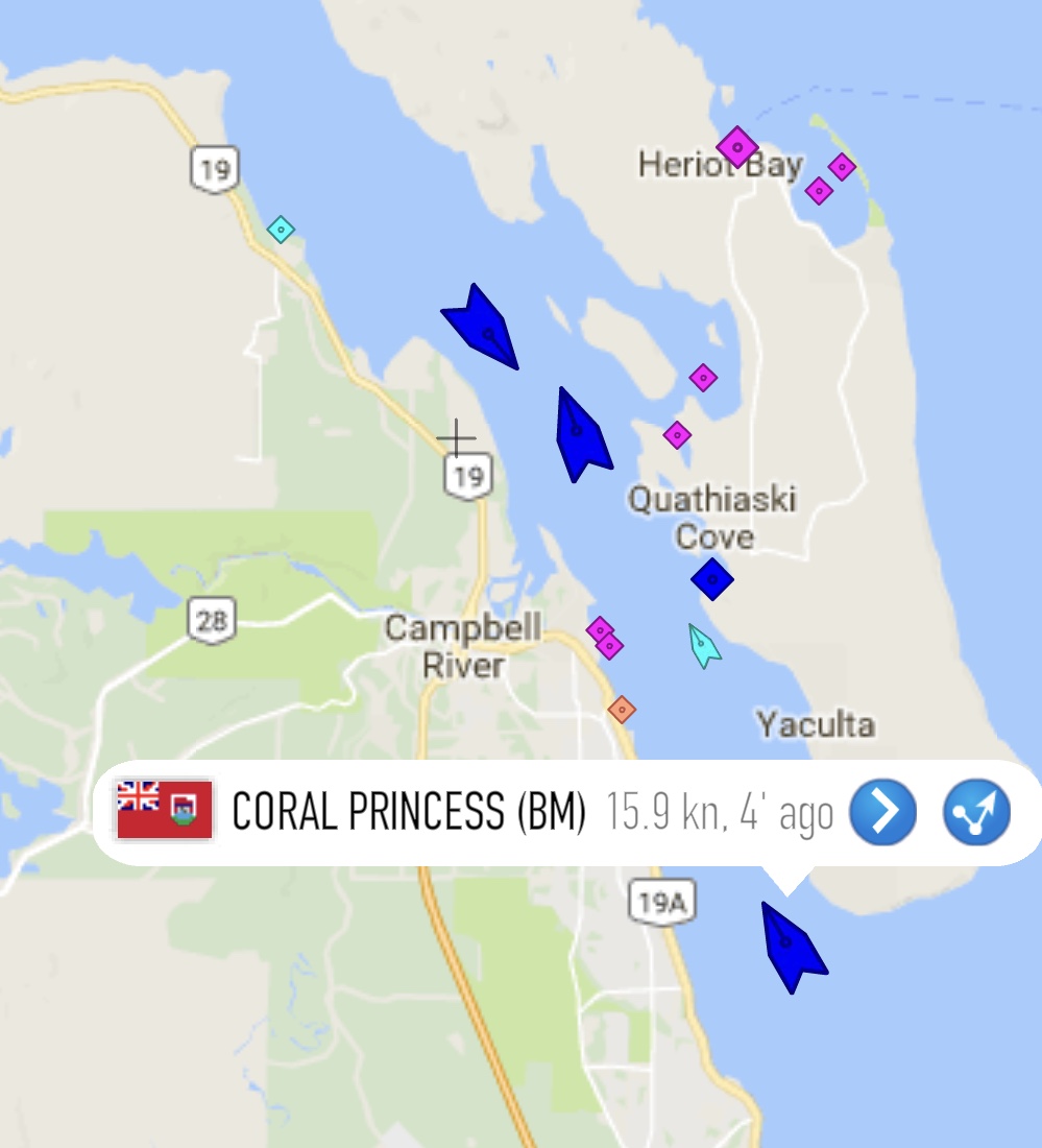
A great app to view and identify all the ships passing through the neighborhood! One click on the symbol reveals name, country, tonnage, from and to ports, and a myriad of other info! We monitor the Seymour Narrows so that we know when to start looking for the majestic ships as they come around the bend. Incidentally the passage was very dangerous due to high 14 knot currents and two large and treacherous underwater rocks partially blocking the waterway until the 1950's when the Canadian government tunneled under the rocks and set off the world's largest ever non-nuclear explosion to clear the passage for shipping.... https://en.m.wikipedia.org/wiki/Ripple_Rock